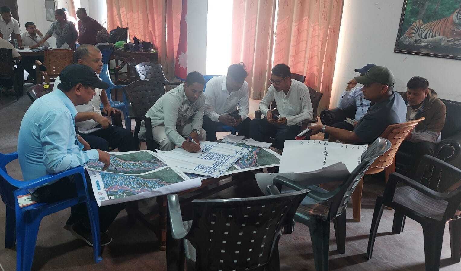
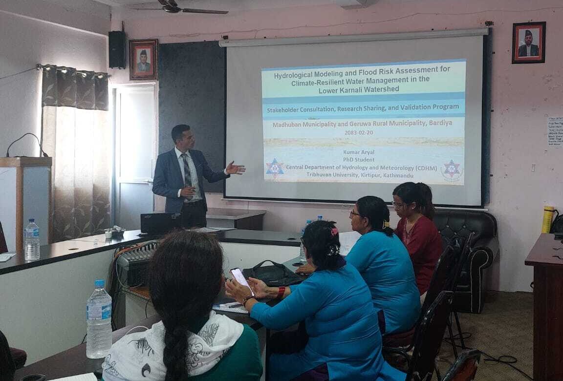
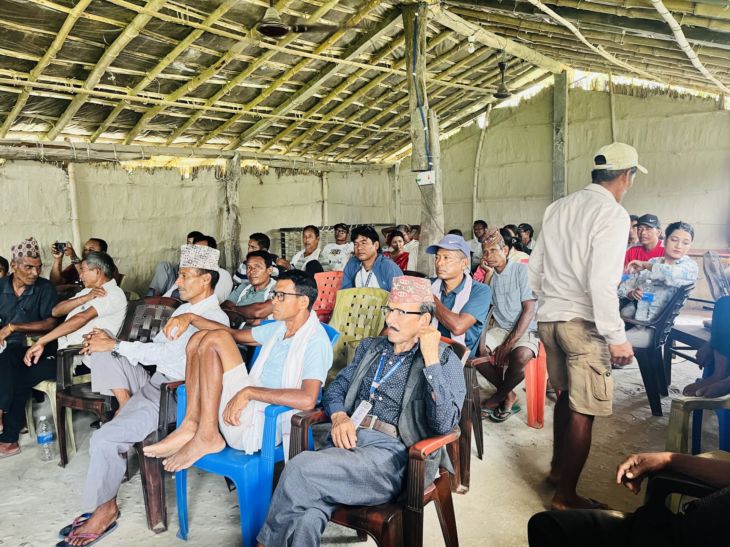
The Small Earth Nepal (SEN) and Karnali Integrated Rural Development and Research Centre (KIRDARC), Nepal conducted research sharing and validation workshops on “Hydrological Modeling and Flood Risk Assessment for Climate-Resilient Water Management in the Lower Karnali Watershed” on 3rd and 4th June 2026 at Madhuwan Municipality and Geruwa Rural Municipality respectively in Bardiya, under the CLASSIK Project supported by IHE Delft, The Netherlands. The workshops brought together the Deputy Mayors, Chief Administrative Officers, department heads at municipalities, ward chairpersons, Badhgars, representatives from Community Forest User Groups (CFUGs), irrigation groups, women’s groups, local NGOs, journalists, and teachers.
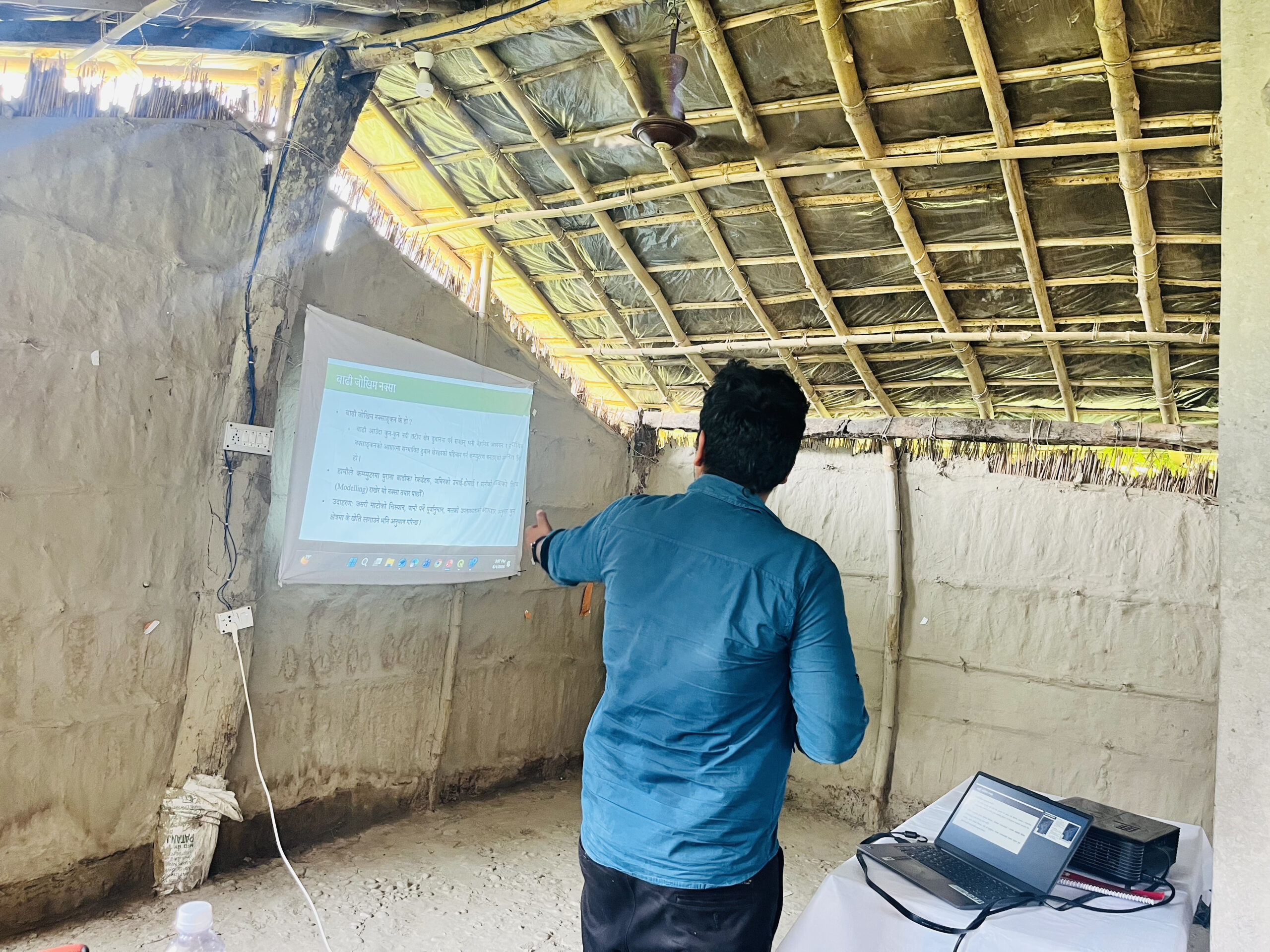
Research findings were shared with the participants and followed by an open validation session. At Madhuwan, communities reviewed flood inundation maps across multiple return periods. While the 100- and 150-year scenarios were accurate, participants noted that the 2-, 10-, and 20-year models underestimated flood extent in Wards 2 and 3. The 2040 BS flood was recalled as the most devastating on record, with Wards 1, 2, and 3 identified as the most frequently affected. Ward No. 6 was identified as more vulnerable to flooding. Participants also provided valuable local insights and recommendations for refining future assessments.
Deputy Mayor Ms. Anita Kumari Chaudhary of Madhuwan Municipality appreciated the study results, noting it builds on earlier research by Plan International Nepal and offers updated insights into flood and climate scenarios in the Lower Karnali basin. She highlighted the value of such findings in helping communities make informed decisions on climate-resilient water management.
In Geruwa, the validation session found the findings largely accurate. The municipality expressed interest in hosting the maps on its official website. The workshop concluded with closing remarks from Chairperson Mr. Jaman Singh KC. He appreciated the research sharing and validation event and acknowledged the importance of evidence-based planning for local development. He expressed the municipality’s commitment to supporting future research-related activities and stated that the findings and recommendations generated from the study would be considered and incorporated into the municipality’s planning and decision-making processes wherever relevant. He also assured continued collaboration and support from Geruwa Rural Municipality for future initiatives.

SEN also conducted a capacity-building training on citizen science and smartphone-based data collection on 4th June to 30 Badhgar participants from Geruwa Rural Municipality. During the session, 12 Badhgars with smartphones successfully learned to collect field data, marking an important step toward community-led monitoring and evidence generation through a citizen science approach. This initiative represents systematic ground-level data collection engaging Badhghars as local citizen scientists. The data will be used to strengthen the validation of flood extent and depth assessments in future analyses and planning purposes.