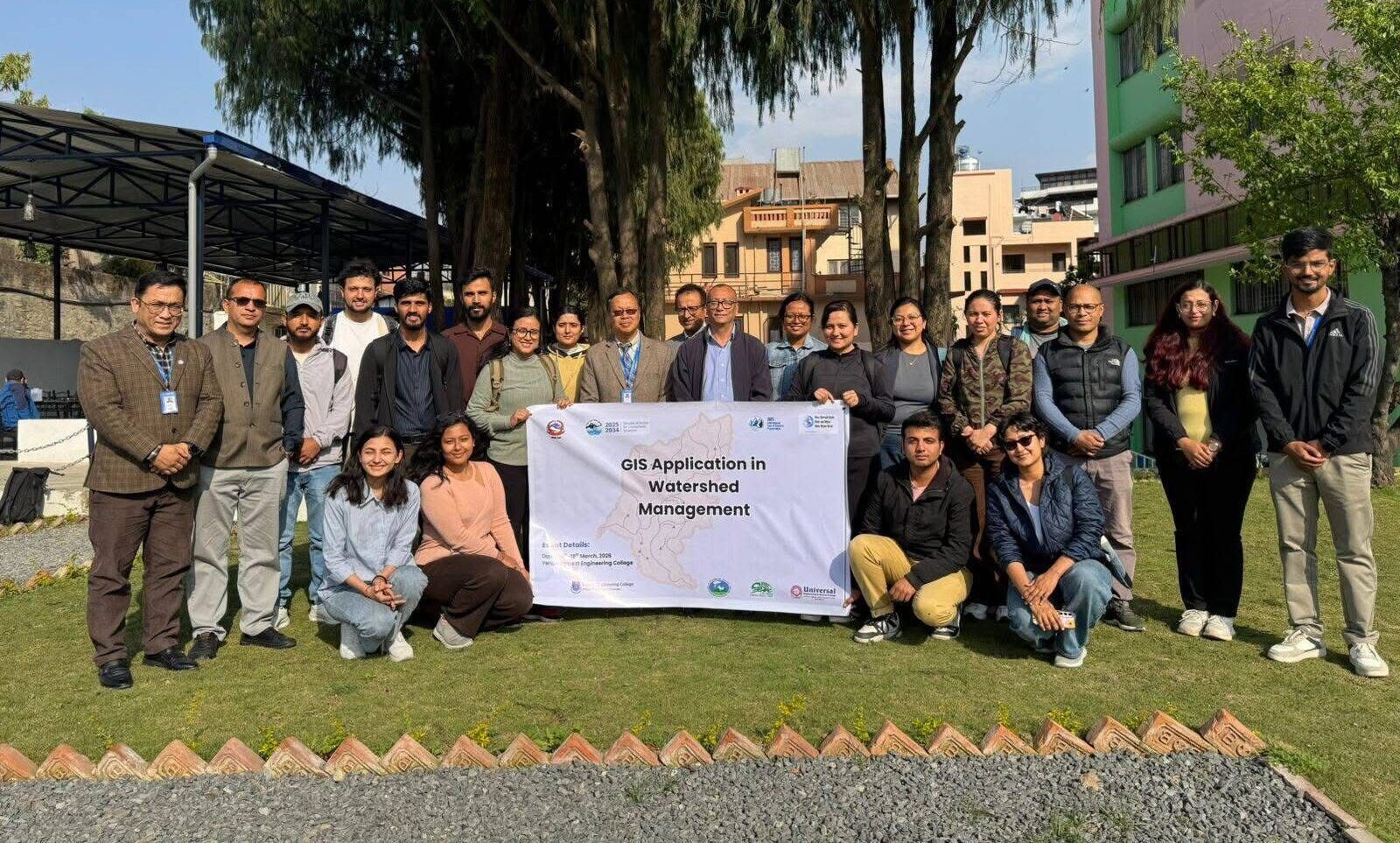
As part of the Nepal National Glacier, Water and Weather Week (NNGWWW) 2026, a two-day training program on GIS Application in Watershed Management was successfully organised by Society of Hydrologists and Meteorologists (SOHAM) on 18-19 March 2026 at Everest Engineering College, Sanepa, Lalitpur, in collaboration with Everest Engineering College, Universal Engineering & Science College, and The Small Earth Nepal (SEN) to strengthen the capacity of students in using geospatial tools for watershed management and water resource planning in Nepal.
The main objective of the training was to equip the participants with practical skills in GIS and spatial analysis demonstrating how geospatial tools support scientifically informed watershed planning for resilient and sustainable water systems in Nepal. The training was conducted by Asso. Prof. Raghu Nath Prajapati, PhD from Nepal Engineering College (NEC), and a total of 25 participants attended the training.
Participants learned to use core ArcGIS tools and geospatial data concepts. They were able to delineate watersheds, generate drainage networks and process Digital Elevation Models (DEMs) for hydrological analysis. In addition, they developed skills to prepare reservoir inundation maps, estimate storage capacity and assess the impacts of reservoir development on settlements and land use.
This training reinforced SEN’s commitment to building the scientific capacity of Nepali students and to promoting evidence-based approaches to sustainable water resource management.