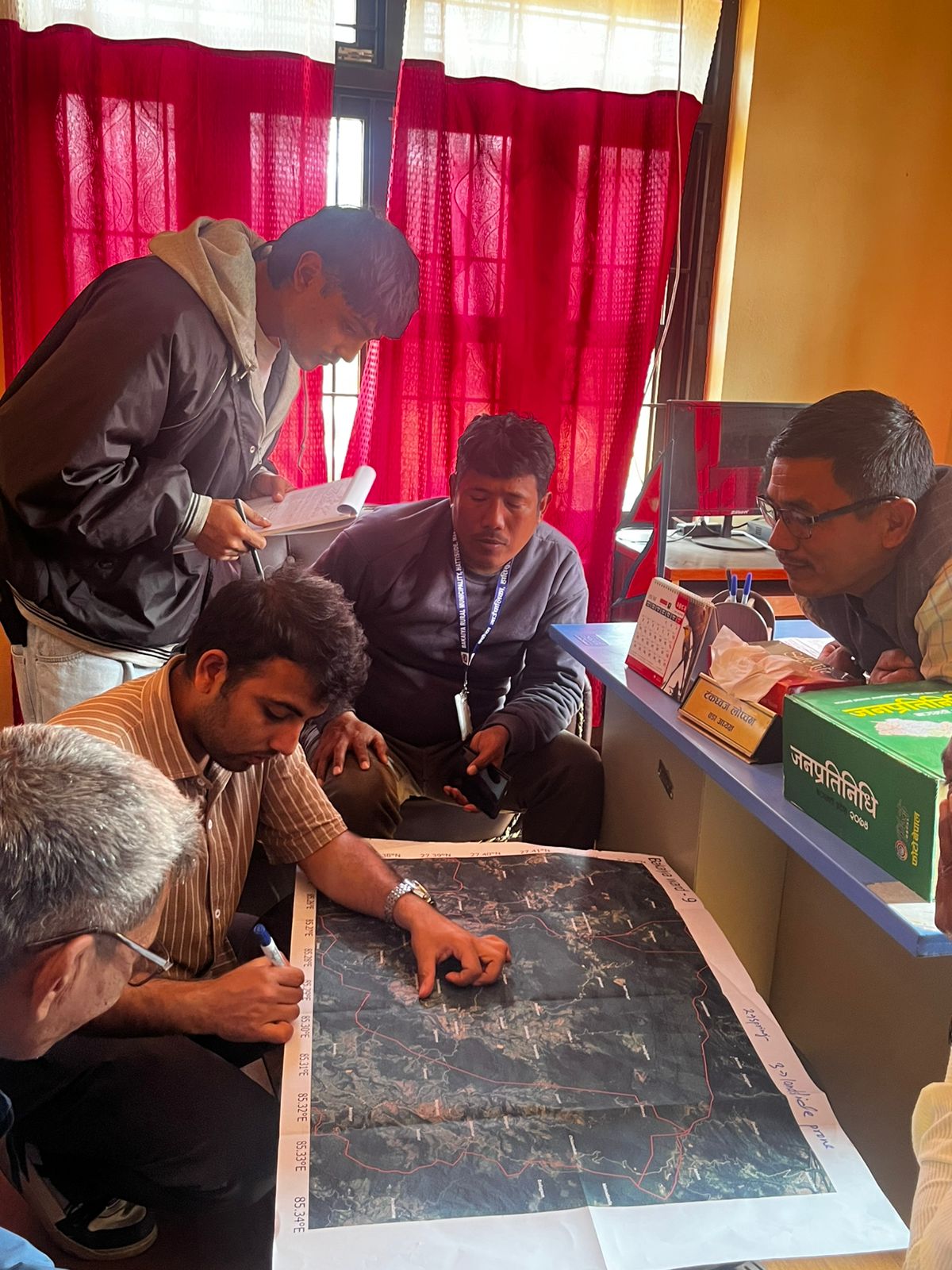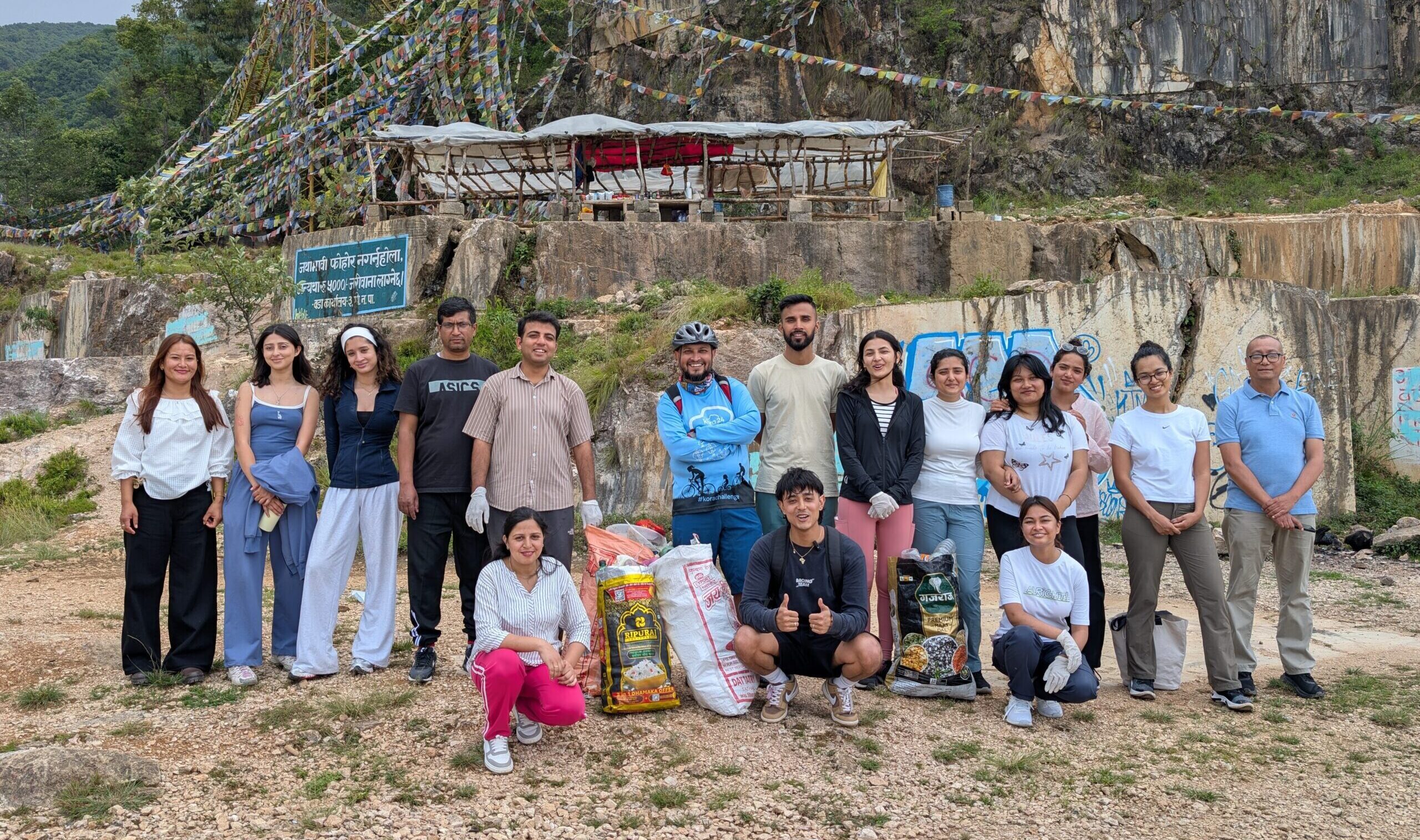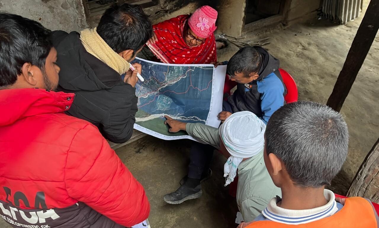
From January 26th to February 7th, 2026, the SEN team, with support from ICIMOD and local partner Mandavi, conducted primary data collection in the Lal Bakaiya watershed for Developing Integrated Watershed Management Plan for Lal Bakaiya Watershed. The field visit for primary data collection spread across 32 wards within Bakaiya Rural Municipality (Wards 1, 2, 3, 4, 5, 6, 7, 8, 9, and 10), Fatawa Bijayapur Municipality (Ward 11), Gujara Municipality (Ward 3), Hetauda Sub-Metropolitan City (Wards 16, 17, and 18), Kolhabi Municipality (Ward 2), Makwanpurgadhi Rural Municipality (Wards 1, 11, and 12), and Nijgadh Municipality (Wards 1, 2, 3, 4, 5, 6, 7, 8, 9, 10, 11, 12, and 13) covering Lal Bakaiya Watershed Area. During the field work, the team met with ward officials and local community members and gathered information needed to develop watershed management plan.
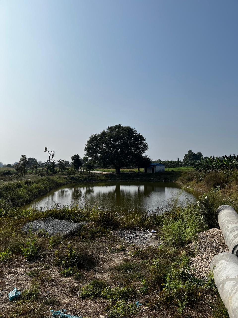
Initial analysis of Focus Group Discussions (FGDs) indicated that water availability is the defining issue. Communities across the Lal Bakaiya watershed are in a cycle of “too much and too little” water, with floods and landslides during the wet monsoon season and droughts during the dry season. There were also issues with irregular water distribution, as well as cases of human-wildlife conflict, specifically cases of tigers attacking livestock or people in dense forest regions.
Locals reported that community forests provide critical ecosystem benefits, serving as natural barriers against river erosion, preserving water sources, conserving soil, and providing essential timber and feed. Multiple communities stressed the need for irrigation canals embankments, and gabions to help mitigate climate and water-induced disasters. Communities are aware of the changing environment and are eager to be part of the solution.
Field data will be analyzed and discussed for drafting the watershed management plan. Further field visits and data collection is in the process of planning with the team of experts for consultations with the local government and stakeholders to share and verify them. The watershed management plan is expected to be finalized by the end of 2026 after the synthesis of all the information.