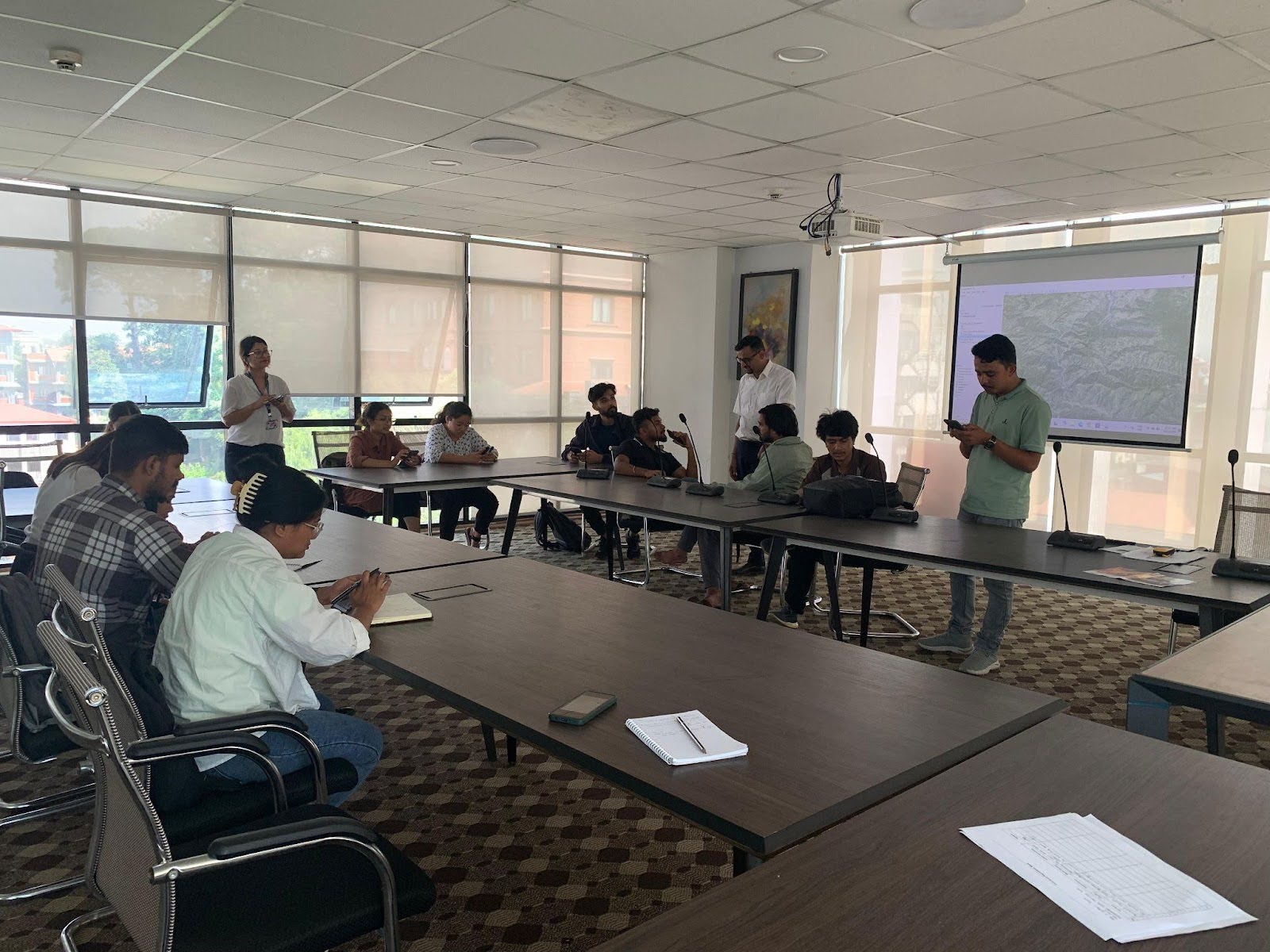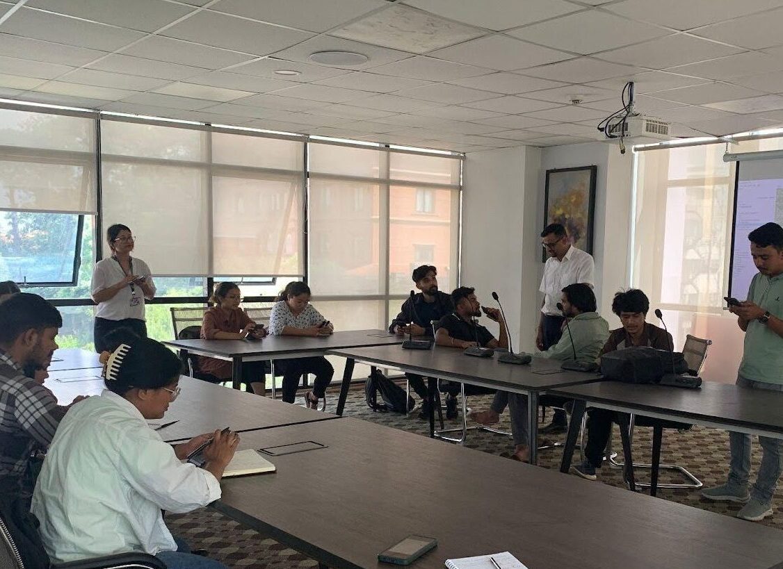
In a collaborative effort to strengthen flood response and preparedness, The Department of Hydrology and Meteorology (DHM), the Government of Nepal, and The Small Earth Nepal (SEN), in partnership with Tribhuvan University’s Central Department of Hydrology and Meteorology (CDHM), and the Department of Meteorology at Tri-Chandra Multiple Campus, successfully conducted an orientation training on flood mapping to 20 students (Male: 10 and Female 10). The training was conducted at DHM, Kathmandu, with the primary goal of equipping students with the skills necessary for flood mark surveys and community risk assessments in flood-affected areas, specifically in the Nakhu Khola region of Lalitpur.
Mr. Binod Parajuli, Senior Divisional Hydrologist at DHM introduced the objective of the training and provided an overview of flood undulation mapping emphasizing the importance of flood data collection in enhancing preparedness and mitigation for the upcoming flood events in the study area.
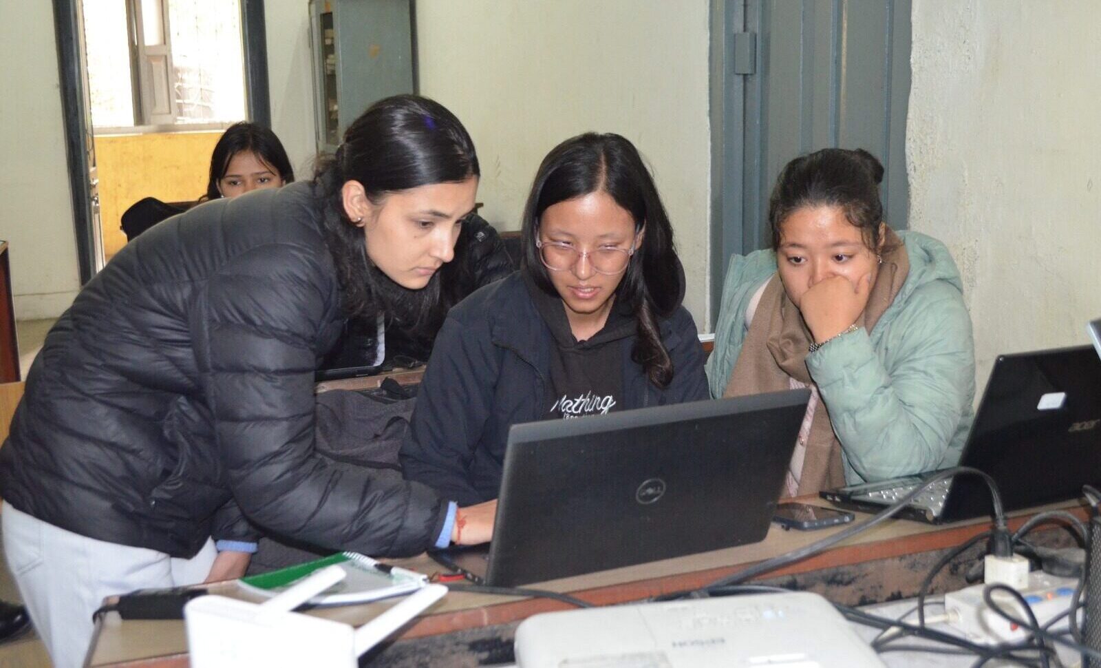
Dr. Bhola Nath Dhakal, a GIS expert, at SEN, provided hands-on training on using GPS for tracking and data collection. He also briefed the students about the risks during field survey and safety protocols to ensure effective and safe data collection. Mr. Binod Parajuli, Mr. Sumit Adhikari, a Hydrologist Engineer, and Ms. Zinky Bhusal, a Hydrologist Engineer from DHM educated participants on using the Android app, SW maps ( published by Softwel Pvt. Ltd.) in recording flood point locations accurately. They instructed on conducting community surveys and managing collected data using Google Sheets for future analysis.
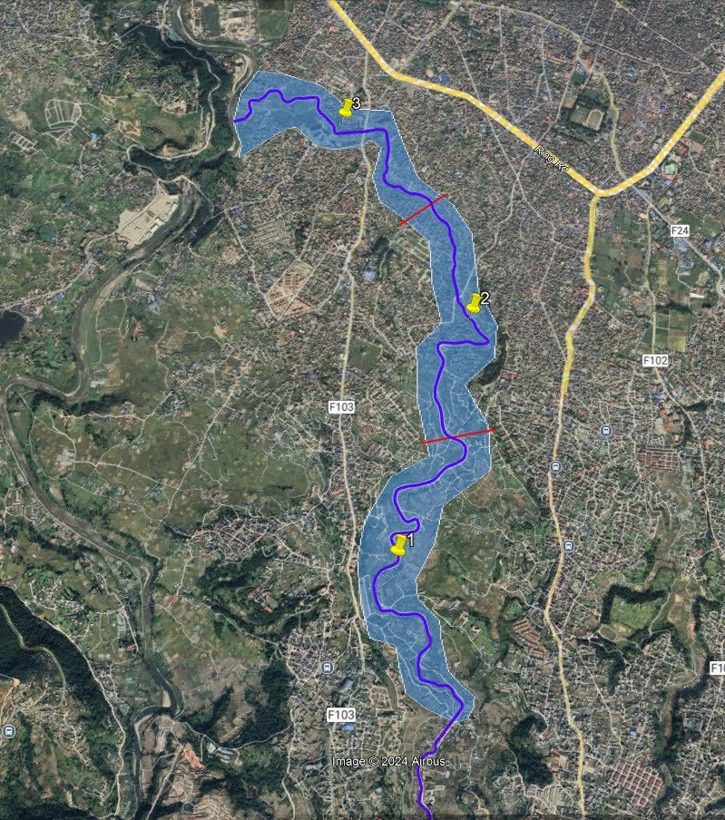
The students were divided into three teams and deployed in the field to collect flood marks and conduct interviews with affected community members based on the checklist provided. These surveys aimed to gather essential data on flood damage and assess the effectiveness of DHM’s flood SMS alert system in providing early warnings to at-risk populations.
The results from the field data analysis will contribute to better understanding of flood dynamics in the Kathmandu Valley and will help improve community resilience through preparedness and mitigation measures to future flood events.